Mostrar el registro sencillo del ítem
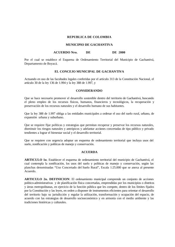
Esquema de Ordenamiento Territorial Gachantivá Boyacá 1999 - 2008: EOT Gachantivá Boyacá 1999 - 2008
| dc.contributor.author | Alcaldía Municipal de Gachantivá Boyacá | |
| dc.coverage.spatial | Gachantivá - Colombia | |
| dc.coverage.temporal | 1999 - 2008 | |
| dc.date.accessioned | 2020-10-26T17:28:53Z | |
| dc.date.available | 2020-10-26T17:28:53Z | |
| dc.date.issued | 1999 | |
| dc.date.submitted | 30/9/05 | |
| dc.identifier.uri | https://repositoriocdim.esap.edu.co/handle/20.500.14471/10336 | |
| dc.format.extent | 1235 pág. | |
| dc.format.mimetype | application/pdf | |
| dc.language.iso | spa | |
| dc.title | Esquema de Ordenamiento Territorial Gachantivá Boyacá 1999 - 2008: EOT Gachantivá Boyacá 1999 - 2008 | |
| dc.identifier.esap | 4232 | |
| dc.identifier.dane | 15293 | |
| dc.subject.geographic | Gachantivá Boyacá - Colombia |
Ficheros en el ítem
Este ítem aparece en la(s) siguiente(s) colección(ones)
-
Documentos Municipales [16348]


